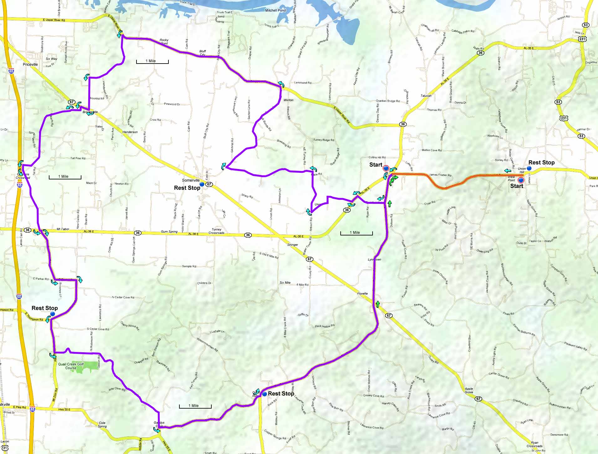
You can also start at the Union Hill school to add 8.8 miles and a long climb to the finish, it should only take about 10 or 15 minutes to descend the mountain and travel the 4.4 miles to the AL-36/Cotaco Florette Road intersection via Union Hill Road. Directions to that start are on the Union Hill metric.
| Cue sheet | Route map | Google Earth
file: KmzUnionShort.kmz |
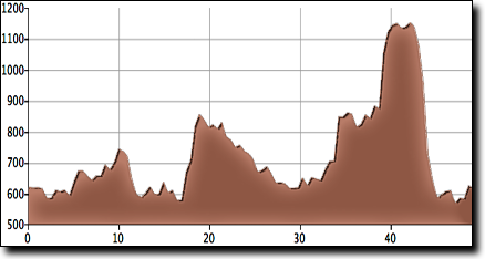
The total elevation gain is 1,490', starting at 630' with a maximum elevation of 1,160'.
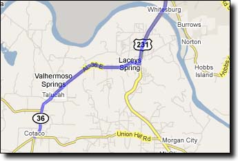
This ride begins and ends at the Cotaco Florette Road intersection with AL-36, south of the Tennessee River. Travel South from Huntsville on HWY-231 (Memorial Parkway) across the Tennessee River. Three miles after the bridge turn Right on AL-36 at the flashing yellow light. Travel 8.3 miles to the intersection with Cotaco Florette Road.
Google Maps driving directions to Cotaco.
You'll pass the Cotaco fire station on the left before reaching the intersection. There's a convenience store with parking on both sides of the road, and the Cotaco School is located just to the west.