| Cue sheet | Route map | Google Earth file |
Route details:
The route heads northeast toward South Pittsburg on rolling roads with some rough pavement. The climb out of South Pittsburg has a 9% average grade, fairly steady with trees shading most of it but there are a couple of steeper sections in the last half mile.
[An alternate route (cue sheet) bypasses South Pittsburg and climbs the mountain via Orme Mountain Road at a 7% average grade. The climb is mostly gravel and there are two very steep (paved) sections. The road leading to Orme is quiet but rough with potholes.]
Following the climb there are many long rollers that make for a good natural interval workout, improving your appetite for lunch. Near Sewanee the route takes a bike path on the south side of US-41 to avoid the high speed traffic and rumble strips.

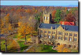
Sewanee is a college town so hours of operation change often. Phone numbers for the restaurants are on the cue sheet.
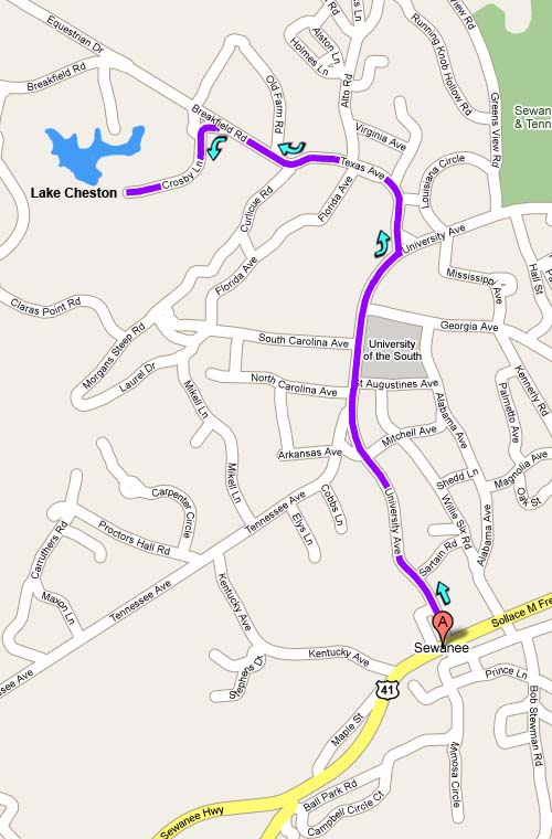
Lake Cheston is a worthwhile 2-mile side trip in the summer, a small swimming lake with shade and a small beach; bring a float and a towel. Directions to the lake, located on the far side of campus, are included on the cue sheet; here's a map.
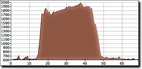
The total elevation gain is 2,370', starting at 610' with a maximum elevation of 1,980'.
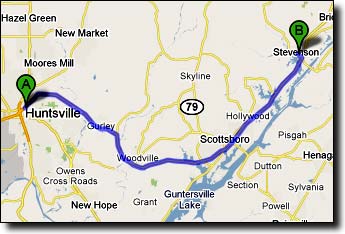
The ride starts at the Stevenson Middle School located in the town of Stevenson, Alabama. From Huntsville, Stevenson is about an hour's drive east on US-72. To exit from US-72 near Stevenson, bear right on the ramp off the highway and turn left/north onto AL-117. The school is located one mile north, on the left. The school is large and hard to miss, with parking in front.