This route is very hilly, beginning with a long climb, then continuously up and down along the canyon, followed by some long grades. It's worth the effort as it travels through some of the most unusual and scenic country in Alabama.
| Cue Sheet | Map - 2 Page | BikeRouteToaster |
Route details:
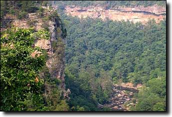
Three miles after the start from Fort Payne High School there's a one mile climb up Beason Gap, at a 10% average grade. That's followed by 13 flat-to-rolling miles to enter the Little River Canyon at its midsection. The hilly, twisting rollercoaster road above the canyon is 11 miles of exhilarating cycling, with panoramic views of the canyon and several waterfalls.
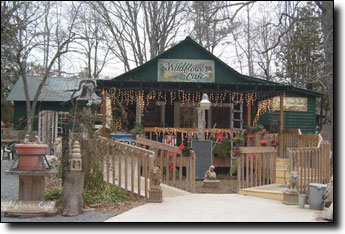
Exiting the canyon there's a short stretch on AL-35 and a rest stop at Ralph's Canyon Grocery at the 28 mile mark. That's followed by a couple of miles of chip-seal, then good pavement gradually gaining elevation. The DeSoto State park is next, a wooded area with smooth curvy roads and a long climb. There's a grocery and gift store in the park at 38 miles.
The next road include some long hills that remind you how much you've already climbed, followed by a quiet windy road along the Little River with some rough pavement, leading to Mentone at 49 miles.
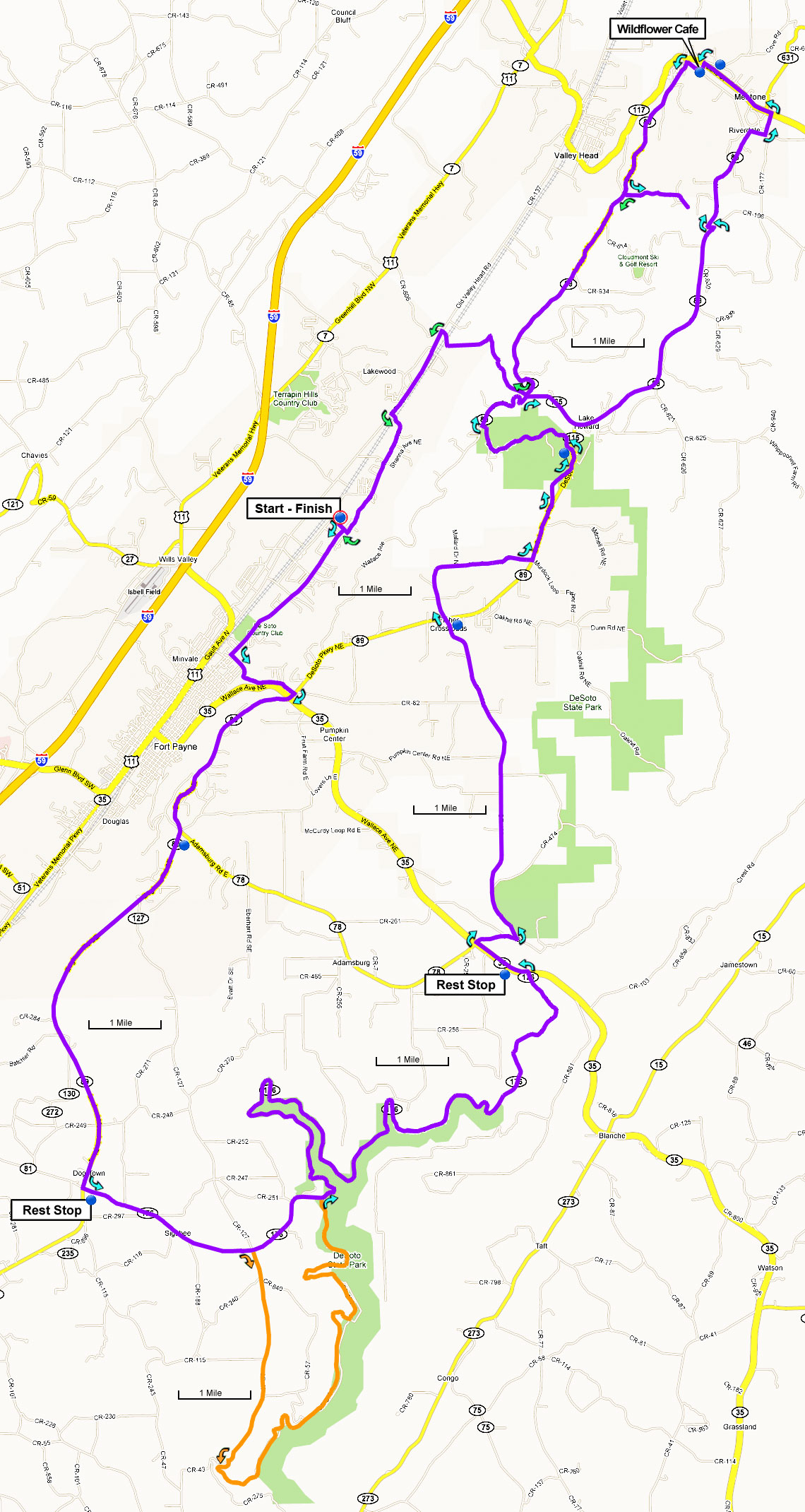
A couple of miles after Mentone there's a short out-and-back to DeSoto Falls with an overlook that's worth the short walk.
The total elevation gain is 2,970', starting at 1,000' with a maximum elevation of 1,770'. Most of the elevation is gained before the rest stop at Mentone.
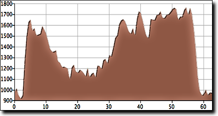
This route can easily be shortened to 46 miles by omitting the loop to Mentone, which cuts out 550' of climbing. Or extend the ride to 72 miles by adding the rougher and more difficult southern half of the canyon road (shown in orange on the map). The added 7.5 mile section along the canyon includes some short steep climbs and descents and adds 840' more climbing.
| 46 Mile Cue Sheet | 72 Mile Cue Sheet |
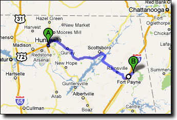
This ride starts at the Fort Payne High School in Fort Payne, an hour and a half drive east of Huntsville. These directions take I-59 for a few miles to bypass the many stoplights in downtown Fort Payne: