![]()
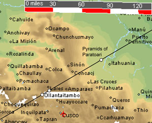
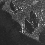
On November 7, 1995, this satellite image of the Peruvian Andes was generated by synthetic aperture radar. This image may also be viewed at NASA's Tropical Rainforest Information Center, on tile X23 - mosaic 123 - image 151330724195311. In the middle of the image below, about three inches from the left edge, is Machupicchu, Peru, although Machupicchu does not have structures large enough to be clearly visible. Along the line of ancient sites, about twenty miles east of Machupicchu (two inches from the top of the image below and an inch from the right edge) is the image pictured above. The location of this image is marked by a white dot on the map below, ten miles northeast of Ollantaytambo. The location of Paratoari is also shown on the map below.
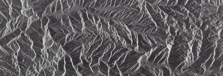
Image © NASDA/MITI - #151330724195311
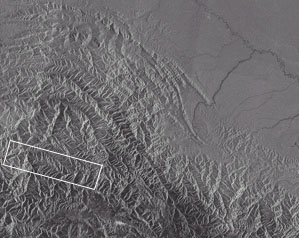
Image © NASDA/MITI - TILE X23
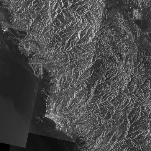
Along the coast of Peru, the lighter area towards the lower portion of the satellite image above is Lima. The close up below shows a large rock outcrop in the shape of two faces with headdress.
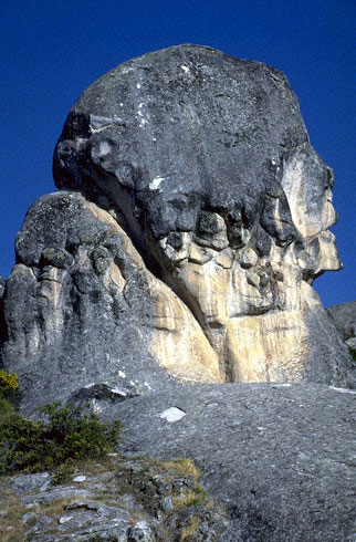
One of several sculpted rock outcrops in Marcahuasi, Peru, northeast of Lima.
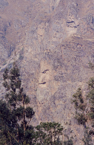
This face was carved into a cliff overlooking Ollantaytambo.